Japoniæ insulæ: The Mapping of Japan (Utrecht Studies in the History of Cartography / Utrechtse Hi)
Japoniæ insulæ: The Mapping of Japan (Utrecht Studies in the History of Cartography / Utrechtse Hi)
Hubbard Jason C.
Subjects: Christian Books & Bibles,Bible Study & Reference,Atlases,History,Asia,Japan,Reference,Atlases & Maps,Historical,Catalogs & Directories,Writing, Research & Publishing Guides,Publishing & Books,Science & Math,Earth Sciences,Geography,Specialty Boutique,New, Used & Rental Textbooks
Description
Description
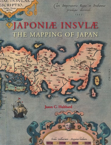
Japoniæ insulæ: The Mapping of Japan systematically categorizes and provides an overview of all the European printed maps of Japan published to 1800.
Details
Details
Publisher/Supplier: Brill | Hes & De Graaf
Date Published: 2012-01-01
Binding: Hardcover
ISBN: 9061945313
Language: en
Pages: 444
Length: 9.9 inches,Width: 1.2 inches,Height: 12.6 inches
Low stock: 9 left